




In the rapidly evolving landscape of municipal management, the city of Frisco, Texas, has emerged as a beacon of technological innovation. What began in 2008 as a targeted initiative to enhance school safety has transformed into a sophisticated, city-wide ecosystem of indoor mapping and geospatial intelligence. Today, Frisco’s "Situational Awareness for Emergency Response" (SAFER) program serves as a critical infrastructure backbone, proving that the integration of digital mapping into daily operations offers benefits far beyond the initial scope of emergency management.
The Genesis: A Commitment to Public Safety
In the late 2000s, municipal leaders in Frisco recognized a glaring gap in the toolkit available to first responders: when an emergency occurred inside a large, complex facility like a school, responders were often operating with outdated or incomplete information. To bridge this divide, the city’s Information Technology (IT) department embarked on an ambitious project to digitize the interior architecture of the city’s buildings.
The SAFER program was conceived as a geographic information system (GIS) foundation designed to provide first responders, dispatchers, and incident commanders with a "common operating picture." By digitizing floor plans, the city sought to reduce response times and increase the efficacy of tactical interventions during critical incidents.
Chronology of a Digital Transformation
2008–2012: The Foundation of SAFER
The inception of SAFER focused on high-priority zones: public schools. The IT team undertook the arduous task of digitizing paper floor plans, incorporating room designations, administrative hubs, nurse’s offices, and hazardous material storage locations. This phase established the fundamental GIS architecture that would eventually support the entire city.
2013–2018: Expansion and Integration
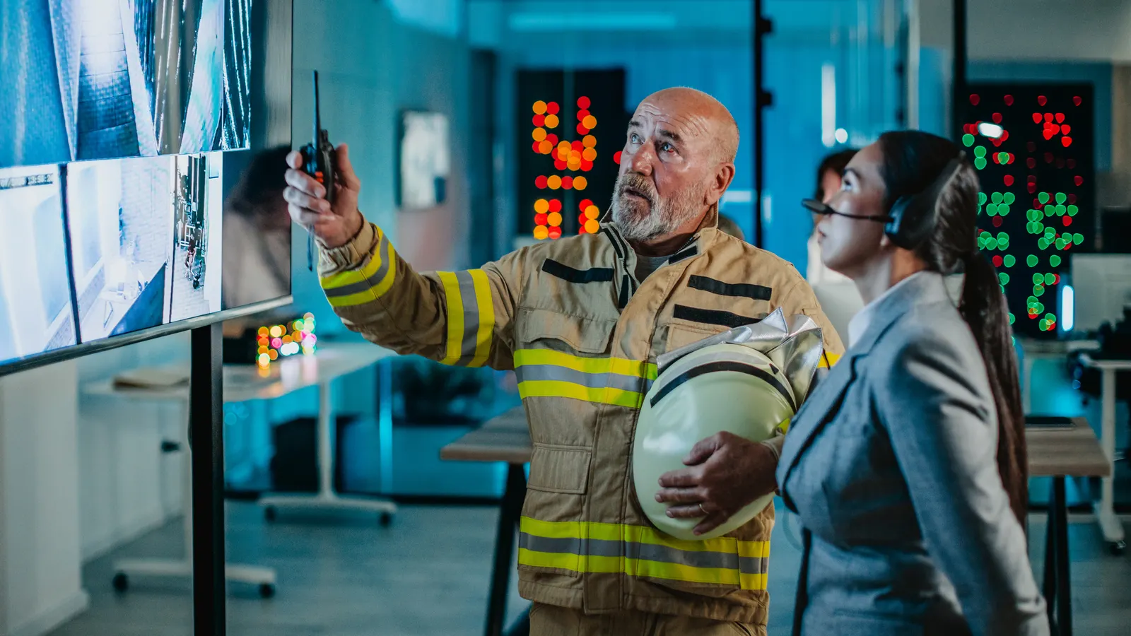
As the benefits of the pilot program became evident, the city expanded the scope. The IT department began integrating real-time data feeds, including live video surveillance. By hyperlinking cameras directly to the digital floor plans, responders could effectively "see" into a building before even stepping through the door. This period also saw the migration toward more advanced ESRI ArcGIS technology, allowing for more robust data manipulation and visualization.
2019–Present: Scaling to a "Smart City" Model
Having mastered indoor mapping for schools, Frisco scaled the technology to cover over 200 major facilities. The portfolio now includes critical infrastructure, hospitals, the corporate headquarters of the Dallas Cowboys, and major event venues. The system has moved from a reactive emergency tool to a proactive asset management platform, utilized by departments ranging from Public Works to Facilities Maintenance.
The Technical Architecture: Integrating Disparate Systems
The technical heavy lifting required to realize this vision cannot be overstated. According to city officials, the implementation required extensive hardware overhauls, custom software development, and the creation of comprehensive training protocols.
The "secret sauce" of the system, as described by Susan Benedicto, the city’s assistant director of IT for geospatial solutions, is the platform’s ability to act as a central nervous system for data. "It integrates over 30 different disparate systems into one geospatial platform," Benedicto explains. By collapsing these silos, the city ensures that when an emergency occurs, responders are not toggling between disconnected databases; they are looking at a unified, high-fidelity digital twin of the building.
Supporting Data and Operational Versatility
The versatility of Frisco’s GIS platform is perhaps best illustrated by its application in facilities management. While the system was born out of emergency necessity, it has become a master utility for everyday city operations.
Asset Tracking and Maintenance
One of the most practical applications has been in the maintenance of life-saving equipment, such as automated external defibrillators (AEDs). Previously, tracking the location and maintenance cycle of these devices across hundreds of buildings was a logistical headache.
The IT department developed a custom application that allows facilities managers to map the exact location of every AED. When a device is due for service, the system provides an exact, geo-referenced location, allowing maintenance crews to navigate directly to the asset. This same logic is now being applied to other critical building systems, including:
- Electrical Panels: Mapping of all main breakers and sub-panels.
- Water Infrastructure: Precision locations for emergency shut-off valves.
- Alarm Systems: Real-time status tracking for fire and security alarms.
Public Works and Beyond
The GIS footprint extends into the city’s broader infrastructure. Public works departments utilize the platform for stormwater management, sewer line diagnostics, and even a burgeoning tree inventory program. By tying work orders to specific geographical assets, the city ensures that service requests are addressed with surgical precision.
Official Perspectives: The Human Element
Despite the high-tech nature of the SAFER program, city leadership emphasizes that the success of the initiative is rooted in human cooperation rather than just software.
"You need to build a really strong partnership with whoever oversees the process and the project management," says Benedicto. "Go meet with your building official, the fire department, the police department. Start with them to find out who’s the PM and get the information from them. It’s really about not being scared to go out there and talk with people."
This culture of cross-departmental collaboration has allowed Frisco to maintain a high level of data integrity. When a new building is commissioned or a renovation occurs, the information flow between the building department and the GIS team is seamless. This proactive communication ensures that the digital twins remain accurate representations of the physical structures.
Implications for Modern Municipal Governance
Frisco’s success provides a roadmap for other municipalities looking to modernize their infrastructure. The implications of this model are three-fold:
1. The Death of Information Silos
Many cities suffer from "departmental blindness," where police, fire, public works, and IT operate on entirely different sets of data. Frisco’s approach demonstrates that a centralized geospatial platform forces transparency and coordination. When all departments view the same map, they speak the same language.
2. ROI Beyond Emergencies
While the primary justification for such a system is often public safety, the return on investment (ROI) is compounded by the operational efficiencies gained in day-to-day maintenance. By automating asset tracking and streamlining work orders, the city saves significant taxpayer dollars in labor and administrative overhead.
3. Scalability and Resilience
The transition from a school-focused emergency tool to a comprehensive city-wide platform highlights the scalability of GIS technology. Modern cities are essentially complex data sets; by mapping that data spatially, administrators can better plan for future growth, disaster recovery, and resource allocation.
Looking Toward the Future
As Frisco continues to refine its GIS capabilities, the focus is shifting toward even greater automation. The city is exploring how artificial intelligence and real-time sensor data—part of the "Internet of Things" (IoT)—can be further integrated into the SAFER platform.
For other city planners and IT directors, Frisco offers a powerful lesson: technological innovation in government does not require a singular "big bang" project. Instead, it requires a consistent, long-term commitment to breaking down organizational silos and a willingness to leverage foundational tools like GIS to solve both the extraordinary and the mundane challenges of urban management.
By treating the city as a living, digital entity, Frisco has not only made its residents safer but has also redefined what it means to be a modern, efficient, and forward-thinking municipality. As the program matures, it will undoubtedly continue to serve as a blueprint for cities worldwide, proving that the most powerful tool in a city’s arsenal is often the one that helps its departments work together.
