




Executive Summary: A Dual-Threat Crisis
A dangerous convergence of atmospheric conditions is gripping the U.S. Gulf Coast, as Tropical Storm Bertha drags a blanket of suffocating humidity across Texas and Louisiana. The storm, which made landfall on Wednesday, has exacerbated an already historic heatwave, pushing regional electricity demand to unprecedented levels. With heat indices forecasted to reach a blistering 120°F (49°C) in some areas, the National Weather Service (NWS) has issued urgent warnings, characterizing the region as a "breezy oven."
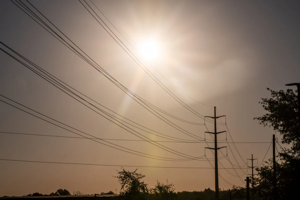
While the storm itself is losing intensity, meteorologists and utility operators warn that the primary threat is not the wind or rain, but the life-threatening thermal stress being placed on residents and the electrical grid alike. As Texas power usage smashes all-time records, the Electric Reliability Council of Texas (ERCOT) remains on high alert, even as solar energy generation provides a crucial buffer for the system.
Chronology of a Heat-Driven Emergency
The Build-Up: Breaking Records
The current crisis did not emerge in a vacuum. For weeks, a high-pressure ridge has sat over the southern United States, setting the stage for record-breaking temperatures. On Tuesday, Texas grid demand surged to 87.403 gigawatts, easily eclipsing the previous all-time record of 85.508 gigawatts established in August 2023. By Wednesday afternoon, as Bertha began its trek across the coast, projections indicated that demand would climb even higher, approaching the 90-gigawatt threshold.
The Storm’s Path
Tropical Storm Bertha, which maintained winds of approximately 60 mph on Tuesday, weakened as it approached the coastline. By 2:00 p.m. local time on Wednesday, the National Hurricane Center (NHC) reported that the storm was located roughly 40 miles east of New Orleans, with sustained winds having dropped to 45 mph.
Despite the loss of wind velocity, the storm’s trajectory remains a concern. After moving across the southern coast of Louisiana, the system is expected to track westward, potentially making a second landfall in Texas by Thursday evening. Meteorologists are monitoring the storm’s slow movement, which threatens to dump up to 6 inches of rainfall and push a storm surge of up to three feet across the coastline from Alabama to Texas.
Supporting Data: By the Numbers
Power Grid Stress and Resilience
The sheer scale of the power demand is staggering. A single gigawatt is enough to power approximately 200,000 homes in Texas during peak demand. The jump to 90 gigawatts represents a significant strain on the infrastructure, yet the grid has shown remarkable resilience.
According to ERCOT, the "perfect storm" of hot weather has also acted as a catalyst for high solar production. Because the heatwave is accompanied by intense, clear-sky radiation in many parts of the state, solar energy generation has reached record highs, providing a necessary cushion for the grid. This generation capacity has thus far prevented the need for rolling outages or emergency load-shedding, despite the record-breaking consumption levels.
Meteorological Severity
The heat index—the "feels like" temperature—is the primary metric for danger in this event. Because Bertha is drawing moisture from the Gulf of Mexico, the humidity levels have skyrocketed. High humidity prevents human sweat from evaporating, the body’s primary cooling mechanism, leading to rapid increases in core body temperature.
- Projected Heat Index: Up to 120°F (49°C).
- Advisory Status: Extreme heat warnings remain in effect for vast swaths of eastern Texas and northwest Louisiana through 8:00 p.m. local time.
- Rainfall Accumulation: Up to 6 inches (15 centimeters) through Friday.
- Storm Surge: Potential for 3 feet (0.9 meters) along the Gulf Coast.
Official Responses and Expert Analysis
The "Breezy Oven" Phenomenon
Mike Efferson, a meteorologist with the National Weather Service in Slidell, Louisiana, has become the voice of caution during this event. His description of the region as a "breezy oven" has resonated with local officials and the public alike.
"It’s the perfect setup for more extreme heat," Efferson noted during a press briefing. "While people are naturally concerned about the tropical storm, the much bigger potential impact is from the heat. The storm is essentially holding that heat against the surface, preventing any relief from the atmosphere."
Efferson emphasized that while residents should remain vigilant regarding the storm’s rain and surge, the thermal danger is immediate and pervasive. "If you’re outside at any point today, the heat is something to be concerned about. It is not a day for outdoor labor or prolonged exposure."
Utility Preparedness
The Midcontinent Independent System Operator (MISO), which oversees the power grid across much of the central United States, including the bulk of Louisiana, has reported that their conditions remain relatively stable. Unlike the isolated nature of the Texas grid, MISO’s interconnected network allows for the regional transfer of power, which has helped mitigate the impact of the heat in areas outside of the ERCOT footprint.
Implications for the Future
Climate Patterns and Grid Infrastructure
The events of this week highlight a growing concern for regional planners: the intersection of extreme weather and grid reliability. As climate change continues to influence the intensity of tropical systems and the frequency of "heat dome" events, the ability of utility providers to manage extreme spikes in demand will be tested.
The reliance on solar energy to bridge the gap during peak heat periods is a positive development, but it also raises questions about nighttime reliability. As the sun sets and solar generation drops, the grid must quickly shift to other sources, such as natural gas or battery storage, to maintain supply as air conditioning usage remains high throughout the evening hours.
Public Health and Economic Impact
The health implications of this heatwave are significant. Emergency rooms in the region are bracing for an influx of heat-related illnesses, including heat exhaustion and heatstroke. Public health officials are urging residents to utilize cooling centers and limit activity to the early morning or late evening hours.
Economically, the dual threat creates a ripple effect. Agriculture in the region faces a "double jeopardy" scenario: crops are being battered by the tropical rain and winds while simultaneously being scorched by the intense heat. Furthermore, the record-high electricity prices often associated with peak demand surges can place a significant financial burden on households and businesses already struggling with inflationary pressures.
Looking Ahead: A Temporary Respite
According to the Commodity Weather Group, there is a glimmer of hope on the horizon. The moisture and cloud cover associated with the remnants of Bertha are expected to provide a slight, albeit temporary, reprieve by the end of the week. However, the relief will be short-lived. Long-range models indicate that another "heat dome" is likely to build late next week, threatening to return the region to the dangerous conditions currently being experienced.
For now, the Gulf Coast remains in a state of high alert. The combination of an unpredictable tropical system and a punishing heatwave serves as a stark reminder of the volatility inherent in the region’s climate. Residents are advised to monitor local alerts, stay hydrated, and remain cognizant that even after the storm clouds dissipate, the threat of the heat will persist.
As the region navigates these next 48 hours, the focus remains on resilience—both of the people living under the sweltering sky and the power grids tasked with keeping them cool.
Copyright 2026 Bloomberg. All rights reserved.
