



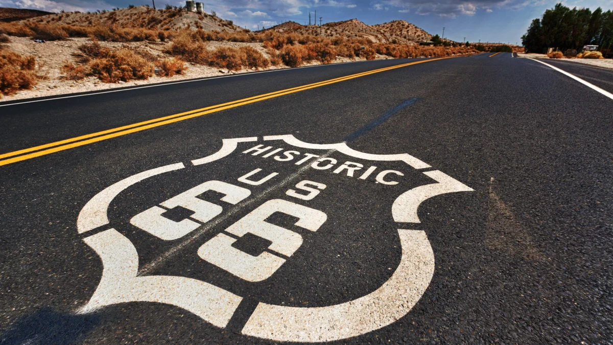
As the United States approaches the centennial of its most storied thoroughfare, the "Mother Road"—Route 66—is undergoing a digital renaissance. While the asphalt may be weathered and the neon signs of mid-century diners have flickered and faded in some corners, the allure of the two-lane odyssey remains as potent as it was when John Steinbeck first immortalized it in The Grapes of Wrath.
With the 100th anniversary of its designation on November 11, 1926, fast approaching, a new generation of travelers is looking to traverse the 2,448-mile stretch from Chicago to Santa Monica. However, the road is no longer the seamless highway it once was. Bypassed by the sleek, high-speed Eisenhower Interstate system during the 1950s and 60s, large segments of the route have been relegated to local access roads or abandoned entirely. Navigating these gaps requires more than just a paper map; it requires a specialized guide. Enter Jake Boyles, a developer and road-trip enthusiast who has bridged the gap between 1920s nostalgia and 21st-century technology.
The Digital Compass: Mapping the Mother Road
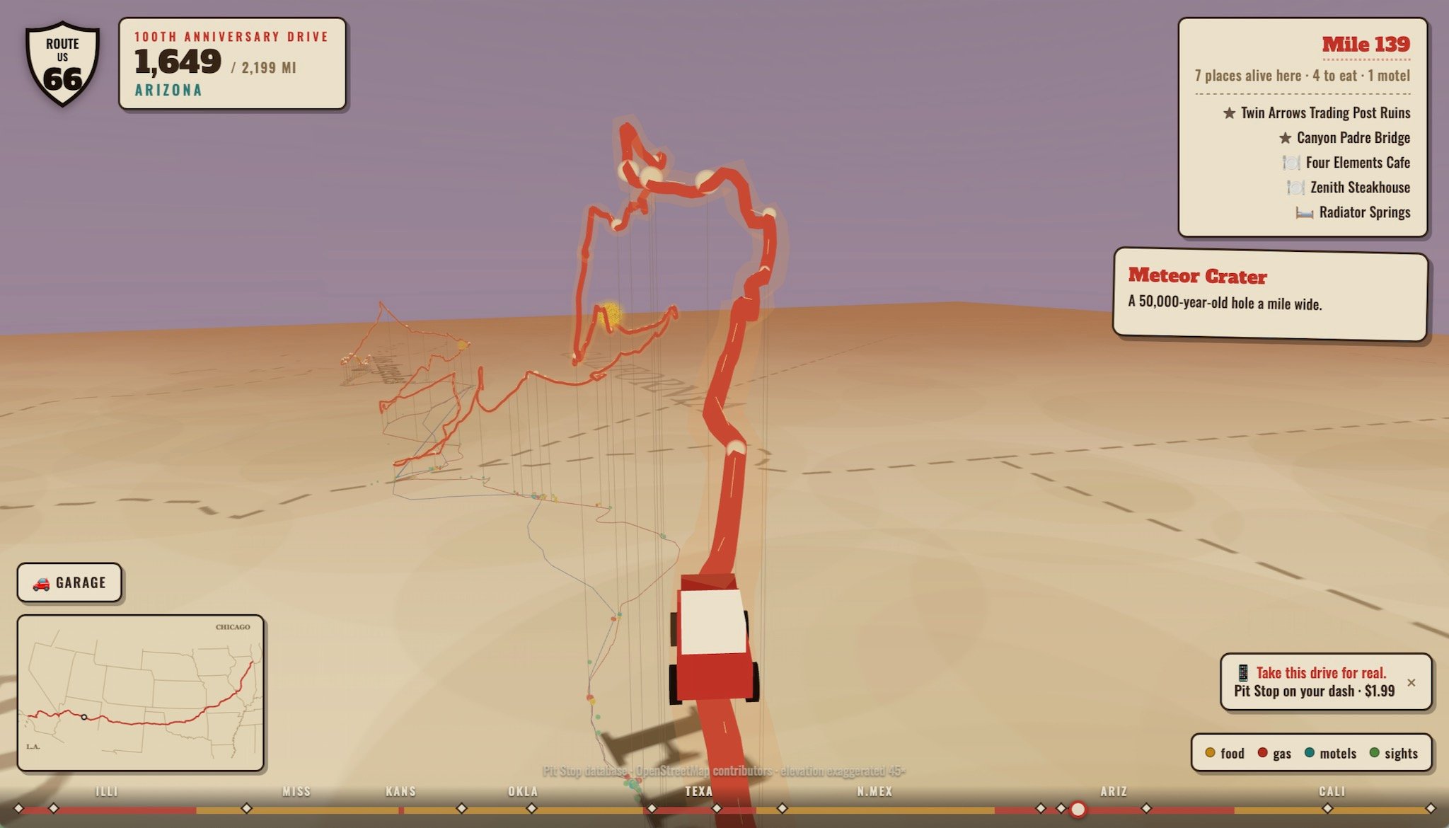
Boyles, the creator of the Pit Stop: Road Trip Exit Guide app, has spent the last year meticulously documenting the current state of Route 66. Recognizing that the modern traveler is often deterred by the logistical anxiety of driving an "obsolete" route, Boyles has developed a specialized version of his software dedicated to the historic highway.
The app is more than a navigation tool; it is a digital companion for the journey. It allows users to scroll through all 2,199 miles of the existing drivable path, providing real-time data on elevation changes and essential stop-offs. To lean into the vintage aesthetic, the app features a whimsical interface where users can select a 1950s-style turquoise cruiser or a white roadster reminiscent of the iconic Chevrolet Corvettes from the 1960s television show Route 66.
"The goal was to make the intimidating parts of the journey accessible," Boyles noted in recent community forums. By mapping 2,400 dining establishments and 1,300 motels across 280 towns, the app ensures that travelers aren’t left stranded in the rural, disconnected stretches where the traditional highway infrastructure has long since evaporated.
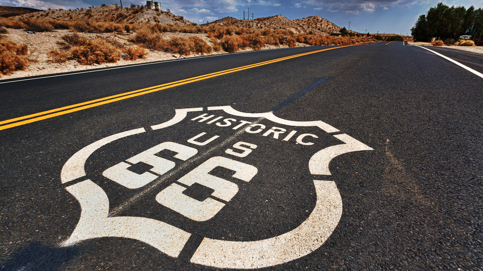
Chronology of a Legend: From Federal Highway to Cultural Icon
The history of Route 66 is a microcosm of American 20th-century progress and decline.
- 1926: U.S. Route 66 is officially established as part of the new federal highway system, connecting the heart of the Midwest to the Pacific Coast.
- 1930s: During the Great Depression and the Dust Bowl, the road becomes a lifeline for thousands of migrants fleeing to California, earning its nickname, the "Mother Road."
- 1946: Bobby Troup writes the hit song "(Get Your Kicks on) Route 66," cementing the road as a permanent fixture in the American consciousness.
- 1956: The Federal Aid Highway Act is signed into law, launching the construction of the Interstate Highway System. This marks the beginning of the end for the two-lane U.S. routes.
- 1985: After decades of being systematically replaced by interstates like I-40 and I-55, U.S. Route 66 is officially decommissioned and removed from the federal highway system.
- 1990s–Present: A grassroots movement begins to preserve the history of the road, leading to the designation of the "Historic Route 66" corridors.
- 2026: The centennial celebration arrives, with renewed interest in road-trip culture and heritage tourism.
Supporting Data: The Logistics of the Modern Pilgrimage
For the modern road-tripper, the challenge of Route 66 is not just finding the path, but ensuring the vehicle is capable of the journey. While the road is mostly paved, it is not a uniform surface. The route passes through the diverse landscapes of Illinois, Missouri, Kansas, Oklahoma, Texas, New Mexico, Arizona, and California.
The density of amenities varies wildly. In urban centers like Tulsa or Albuquerque, modern fuel stations and EV chargers are abundant. However, in the vast, arid stretches of the Mojave Desert or the high plains of the Texas Panhandle, the distance between services can exceed 50 miles.
Boyles’ data collection highlights a critical necessity for travelers:
- 2,400+ Dining Options: Ranging from historic diners that have survived since the 1940s to modern cafes.
- 1,300+ Lodging Locations: A mix of preserved "Motor Courts" and classic roadside motels.
- Elevation Variance: The route climbs from the near-sea-level elevation of the Midwest to the high desert plateaus of the Southwest, necessitating proper engine and cooling system maintenance for older vehicles.
Official Responses and Preservation Efforts
The National Park Service (NPS) has played an instrumental role in maintaining the legacy of the road through the Route 66 Corridor Preservation Program. While the road is no longer a federal highway, the NPS provides cost-share grants to help preserve neon signs, historic bridges, and original segments of pavement.
"Route 66 is not just a road; it is a museum of American life," says a representative from the Route 66 Alliance. The organization emphasizes that the upcoming centennial is a catalyst for economic development in small towns that have struggled to remain relevant. By encouraging tourism, these towns are finding new ways to monetize their history, transforming derelict gas stations into museums and forgotten motels into boutique lodging experiences.
Implications: The Psychology of the Open Road
Why do we still care about a road that has been functionally obsolete for forty years? The answer lies in the psychology of travel. In an era where modern transit is defined by the sterile, high-speed efficiency of the Interstate—often accompanied by the frustration of heavy traffic on routes like California’s I-405 or the BQE in New York—Route 66 represents a return to "intentional travel."
The road is a manifestation of possibility. It is a slow-motion trip through the veins of the country, where the value is found in the detour, the kooky roadside attraction, and the unexpected conversation at a local diner. Whether it is standing on a corner in Winslow, Arizona, or visiting the Meteor Crater where Apollo astronauts once trained, the route offers a physical connection to the past that a plane ride or a high-speed bypass simply cannot provide.
As the centennial approaches, the message from advocates like Jake Boyles is clear: the Mother Road isn’t dead; it has simply transitioned from a utility to an experience. For those willing to trade the speed of the Interstate for the character of the backroads, the 2,448-mile journey remains the ultimate American rite of passage.
In a world increasingly dominated by algorithms and automated transit, the act of manually plotting a course, checking fuel levels, and choosing to drive through history is a radical, and deeply satisfying, form of freedom. As Route 66 enters its second century, it stands as a testament to the fact that while technology changes how we travel, the desire to explore the open road remains a constant in the human experience.
